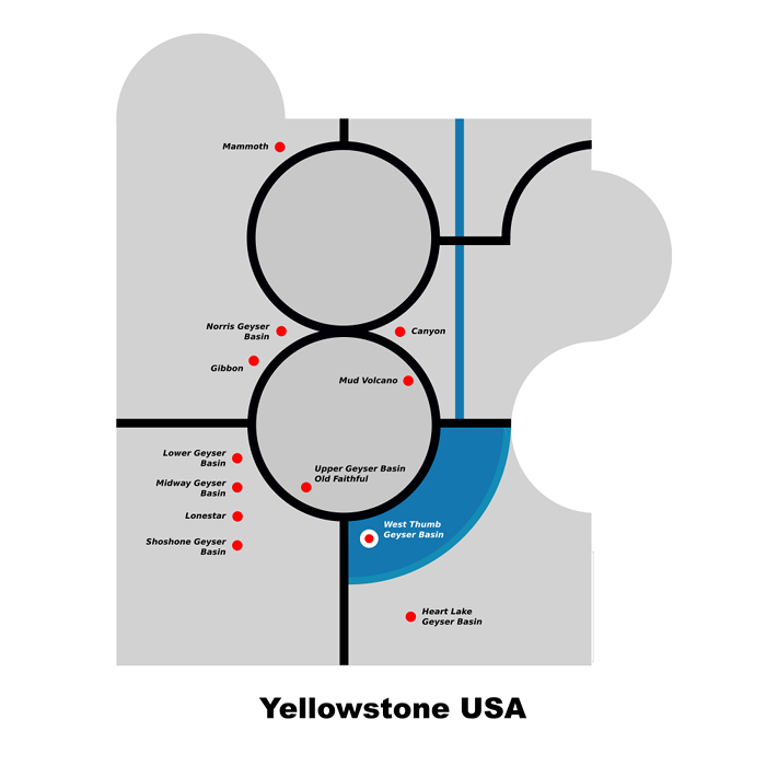
Cartogram experiment: Yellowstone USA
09 Mar 2019Since I now exclusively use Ubuntu, it is more difficult to use my normal cartography tools, i.e., Illustrator and ArcGIS. After posting the Upper Geyser Basin map yesterday, I decided to try open source Inkscape and see if I could make it work. Anyway, here is a start.