08 Mar 2019
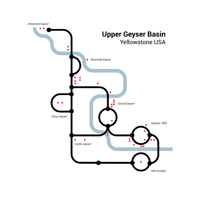
Inspired by Harry Beck’s London Tube map, here is my version of the geysers and trails at the Upper Geyser Basin. This is an unused figure from my 2013
doctoral dissertation on networks embedded in geographic space. It includes three of my favorite things: geysers, maps, and networks.
08 Mar 2019
In 2002, Rhonda Glennon, Shane Fryer, Weldon Hawkins and I inventoried and mapped the geysers of El Tatio, Chile.
Our report was published in the Transactions of the Geyser Observation and Study Association, and the associated four maps were all reduced to fit into standard page sizes.
The maps were intended to be a bit bigger, so I am happy to release these maps in pdf format at their native resolution for download.

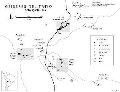 General Map
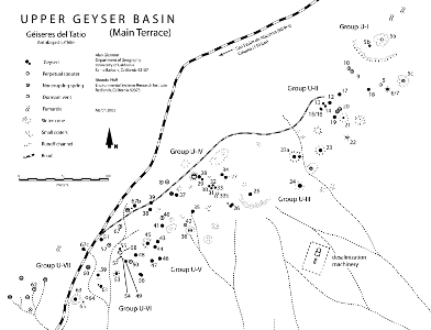 Upper Geyser Basin
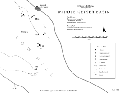 Middle Geyser Basin
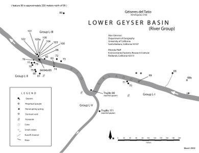 Lower Geyser Basin